A Kananaskis Conservation Pass is required to park your vehicle in Kananaskis and the Bow Valley.
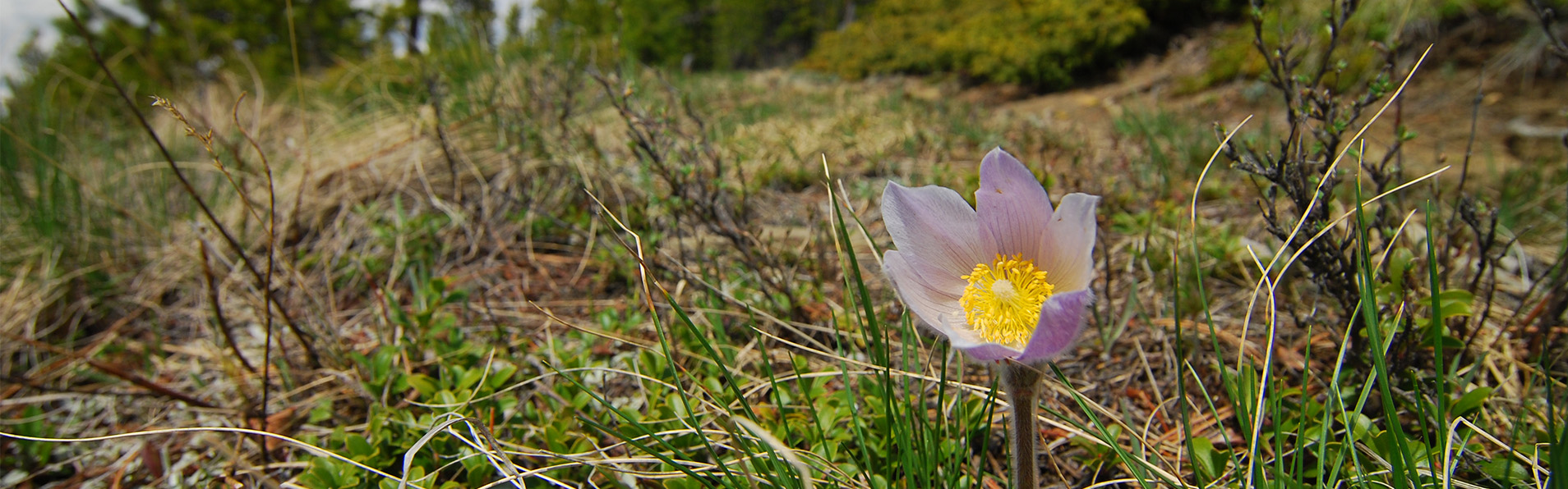
This picnic site provides a scenic viewpoint over the meadows of Sibbald Flats.
32 km eat of Canmore on Hwy. 1, 6 km south on Hwy. 40 & 14 km east on Hwy. 68
Activities

Hiking - Front Country

Geocaching

Trail Running
- Permitted activities may vary within a park. Please confirm details with park staff.
Events
**************************************************
**************************************************
No upcoming events at this time.
Maps & Guides
-
Sibbald Area Summer Trails Pamphlet with Map
Map, Kananaskis, Dawson PRA, Jumpingpound Creel PRA, Lusk Creek PRA, Pine Grove PRA, Sibbald Lake PRA, Sibbald Viewpoint PRA, Baldy Pass Trail, Cox Hill Ridge Trail, Deer Ridge Trail, Eagle Hill Trail, Jumpingpound Loop Trail, Jumpingpound Ridge Trail, Jumpingpound Summit Trail, Lusk Pass Trail, Ole Buck Loop Trail, Moose Creek Interpretive Trail, Pine Woods Interpretive Trail, Sibbald Flat Interpretive Trail, Sibbald Reforestation Interpretive Trail, Tom Snow Trail, Kananaskis Country, Map -- 13edf317-efac-44bc-bbd3-1b857a942807 True
- Regulations
- Bear Smart
- Living With Cougars
- Snake Safety